The Best Waterfall Photo Spots around Wapta Falls in Canada
Explore Waterfall pictures of Wapta Falls with the travel spots on a map
Download the Travel Map of Canada on Google Maps here
11 Waterfall Spots of Wapta Falls on a Map
Pictures of Waterfall on the interacive map of Wapta Falls
Download On Google Maps 🗺️📲Waterfall Spots and Pictures around Wapta Falls
Discover popular destinations in Wapta Falls with their travel guides
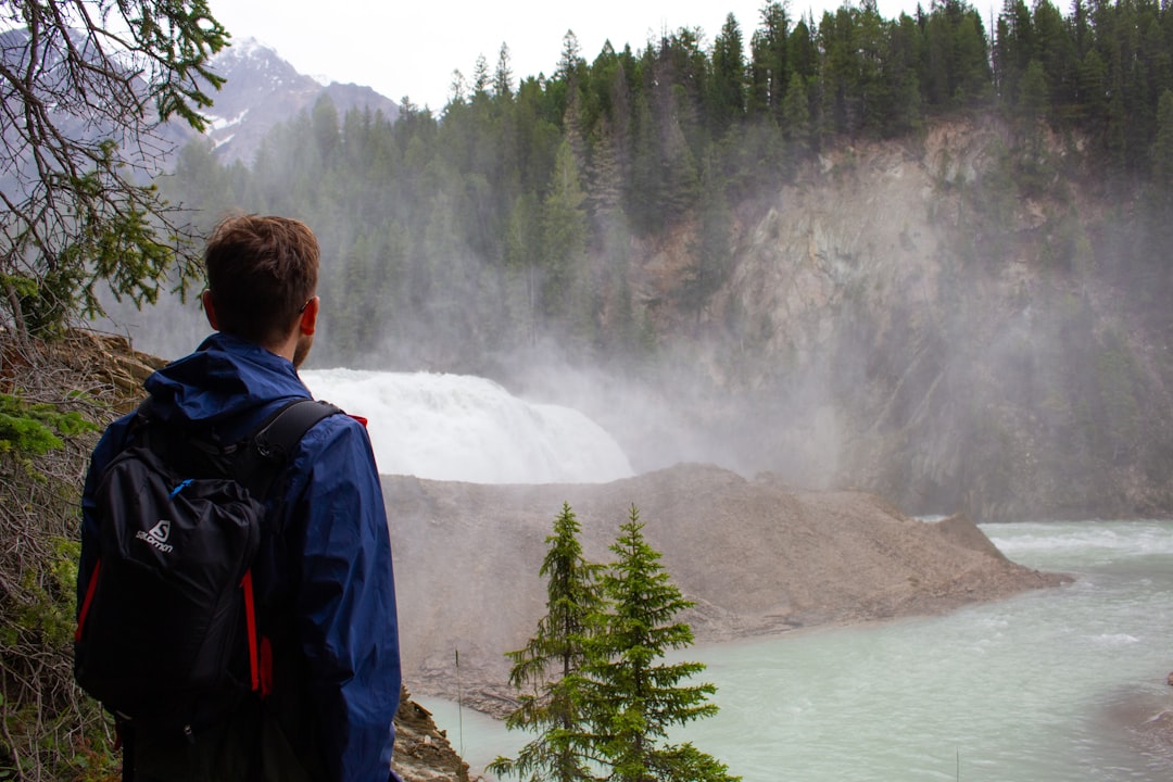
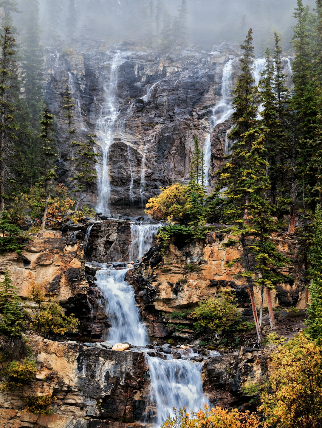
Wapta Falls
Read the Travel guide View on Google Maps
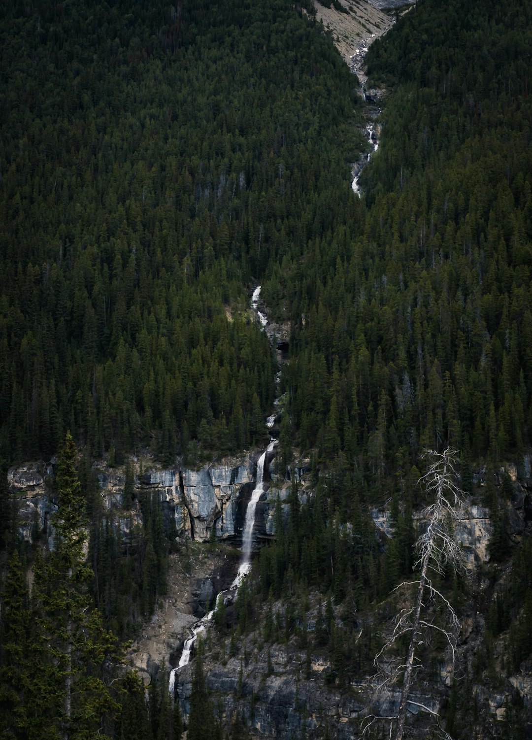
Upper Spiral Tunnel
28 km away from Wapta Falls
Read the Travel guide View on Google Maps
Yoho National Park
31 km away from Wapta Falls
Read the Travel guide View on Google Maps
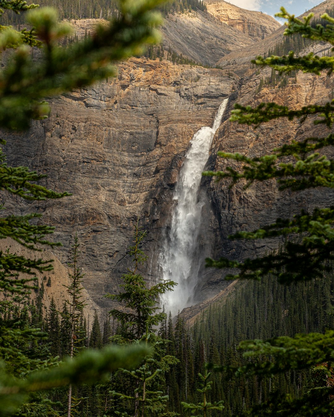
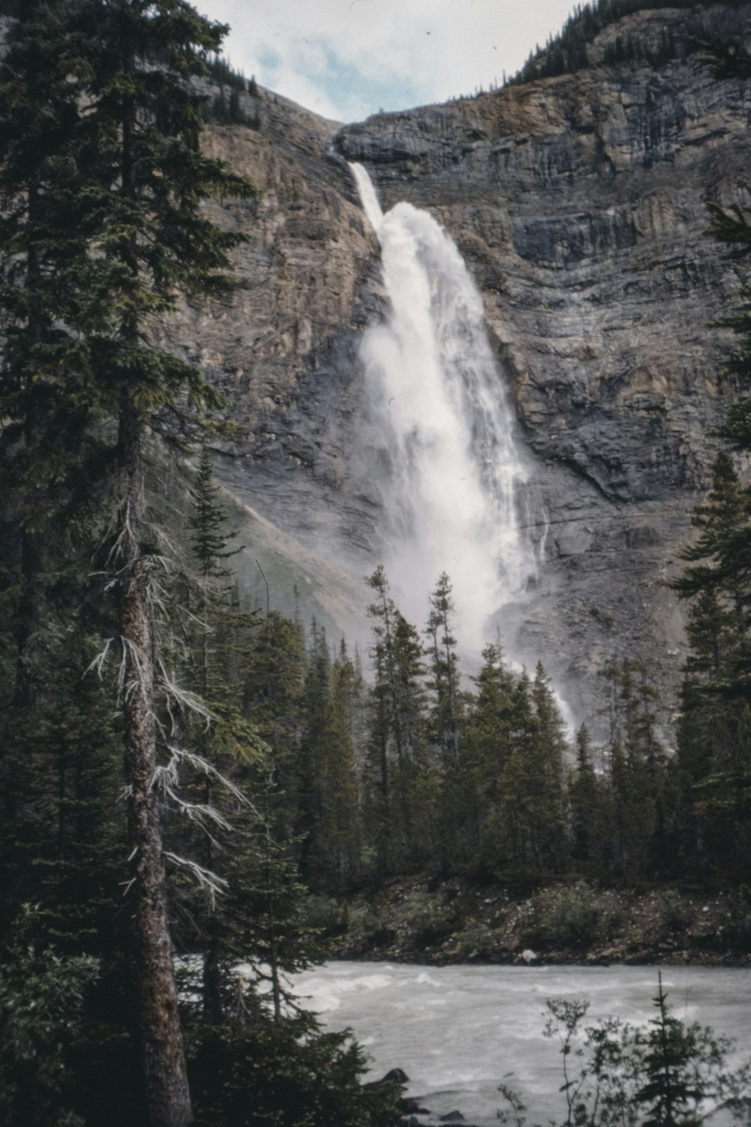
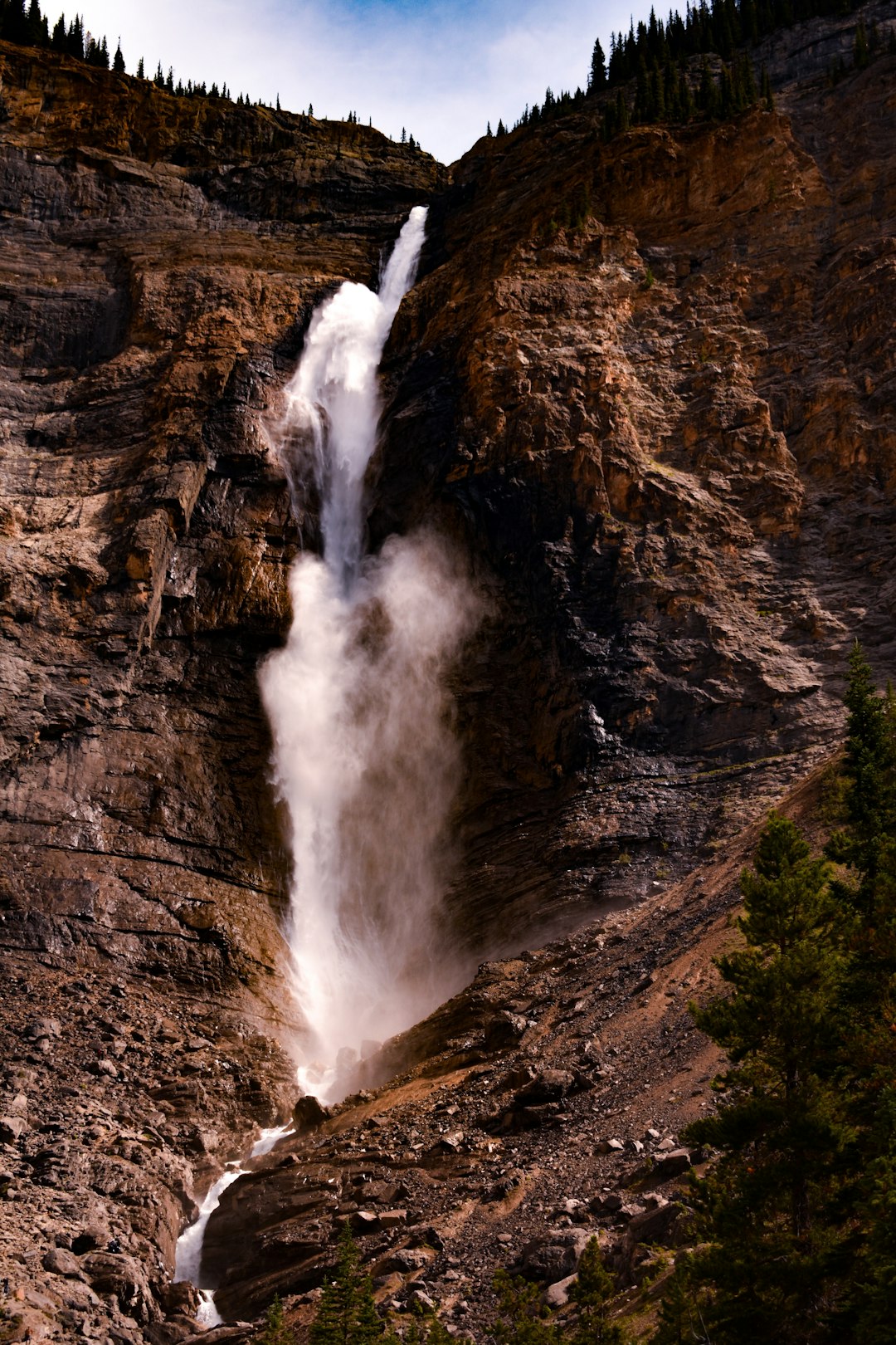
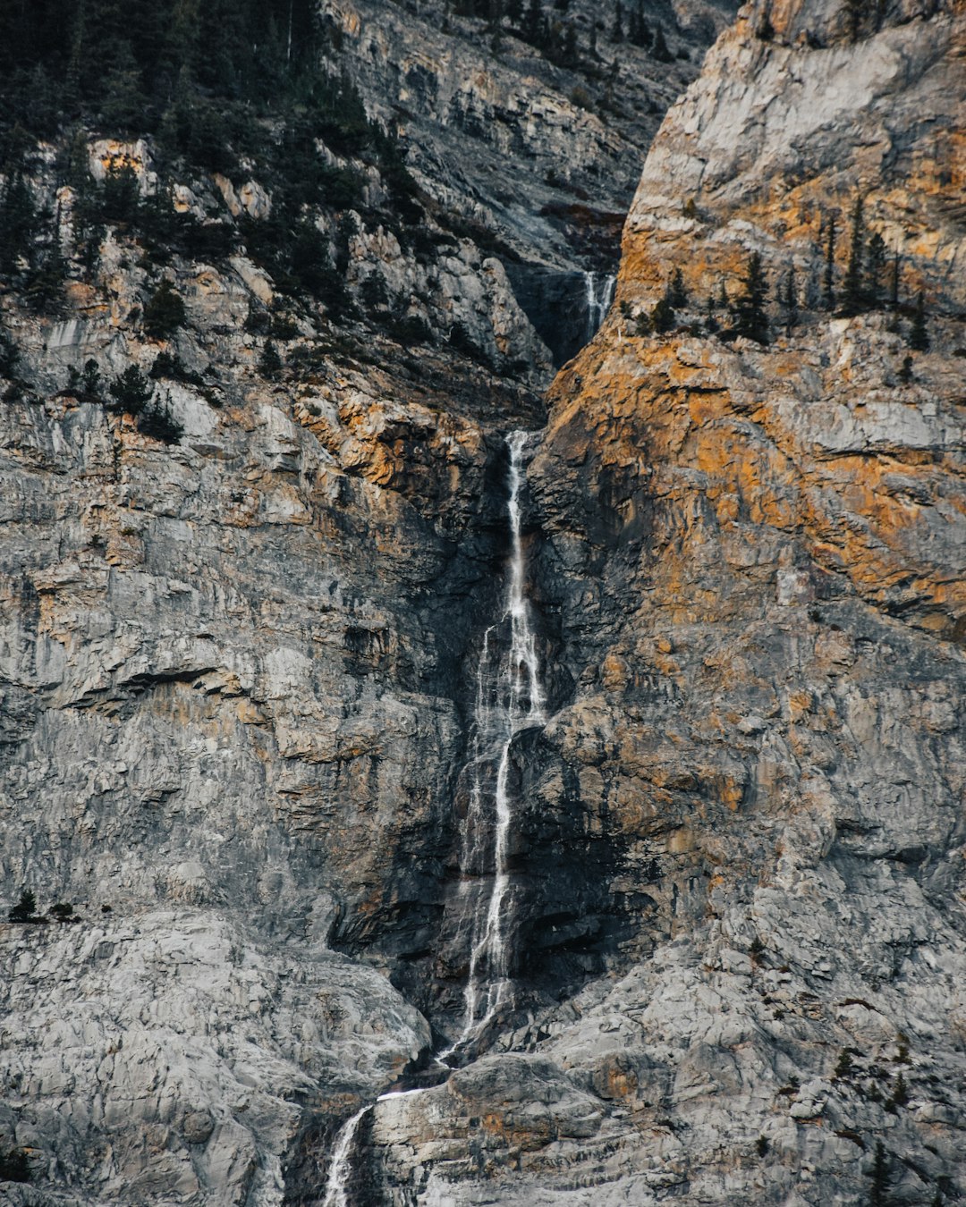
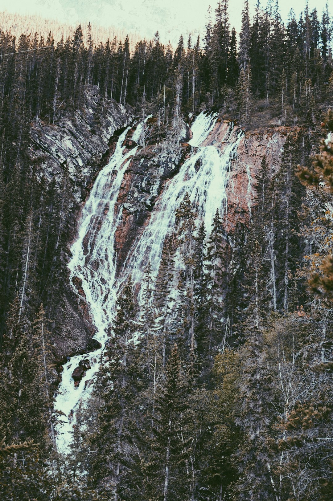
Takakkaw Falls
36 km away from Wapta Falls
Read the Travel guide View on Google Maps
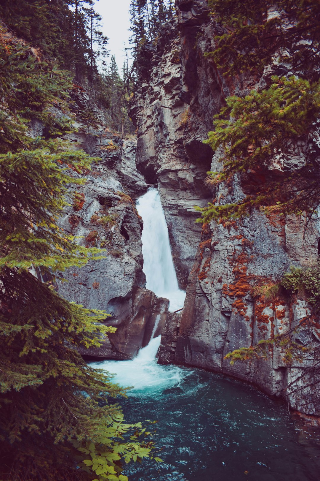
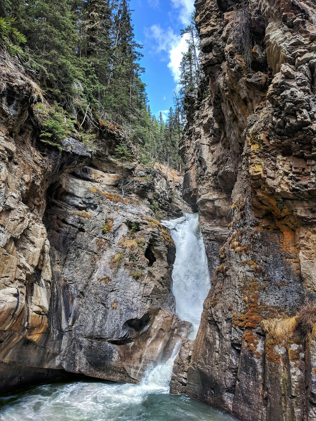
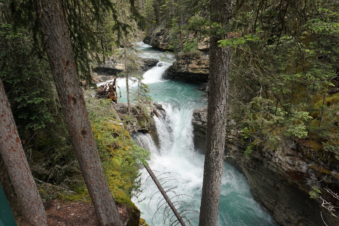
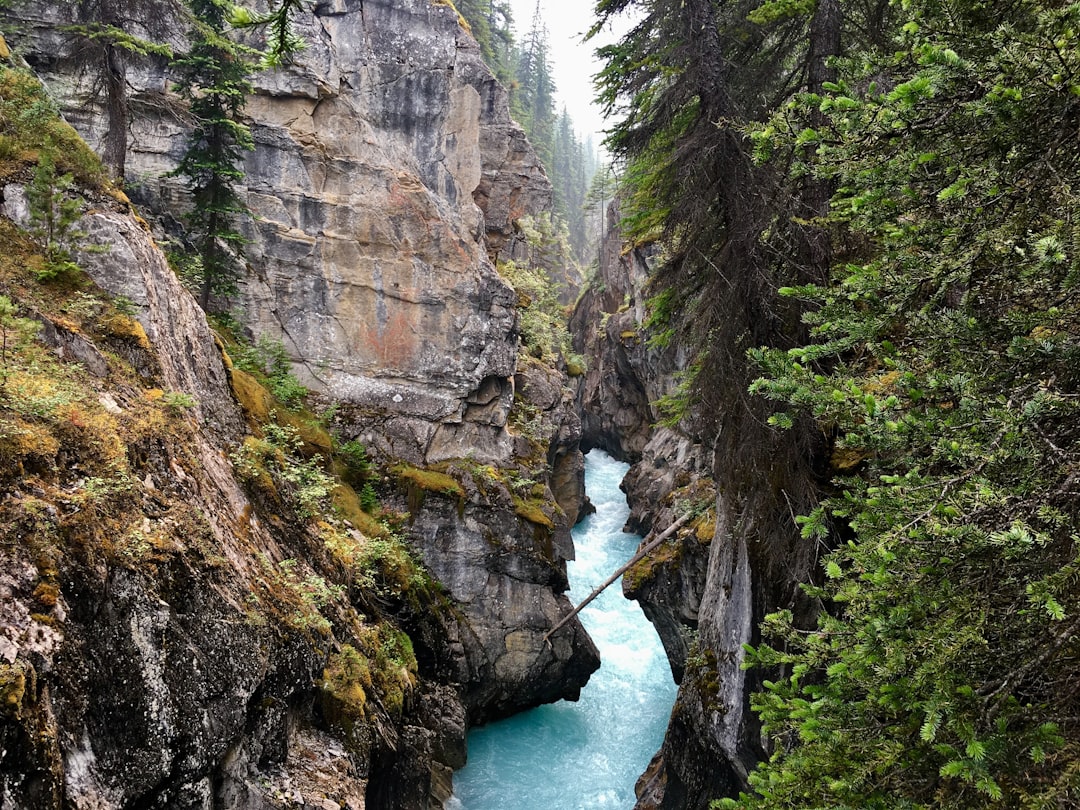
Johnston Canyon
52 km away from Wapta Falls
Read the Travel guide View on Google Maps

Banff
70 km away from Wapta Falls
Read the Travel guide View on Google Maps
Banff National Park - Visitor Centre
70 km away from Wapta Falls
Read the Travel guide View on Google Maps
Radium Hot Springs
72 km away from Wapta Falls
Read the Travel guide View on Google Maps
Grassi Lakes
83 km away from Wapta Falls
Read the Travel guide View on Google Maps
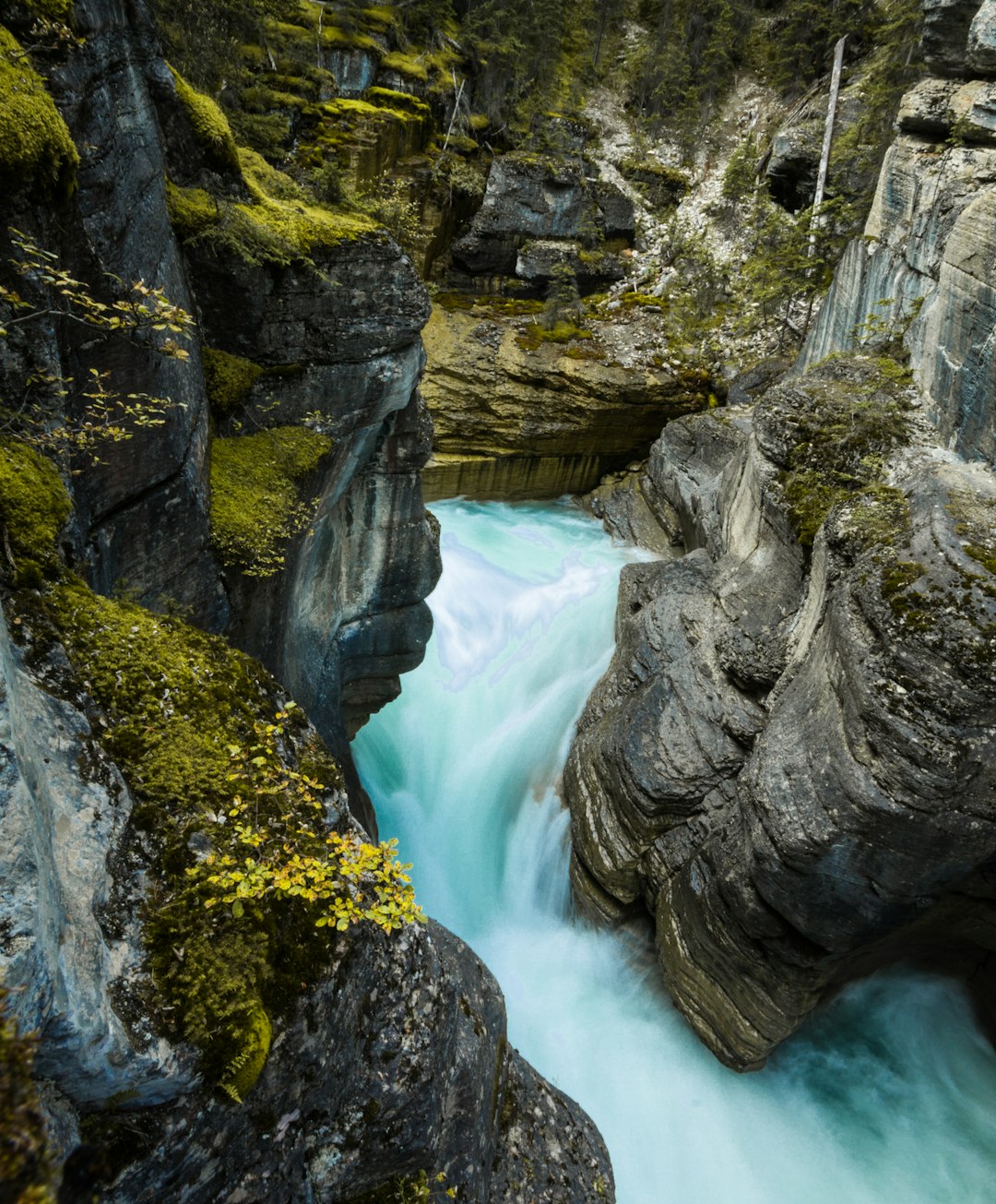
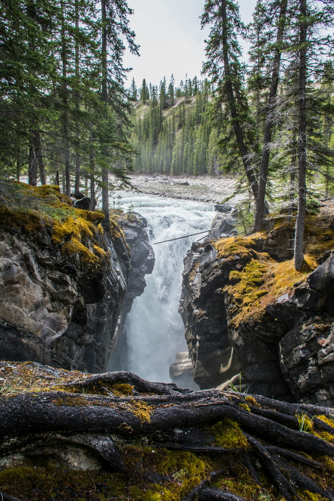
Mistaya Canyon
85 km away from Wapta Falls
Read the Travel guide View on Google Maps
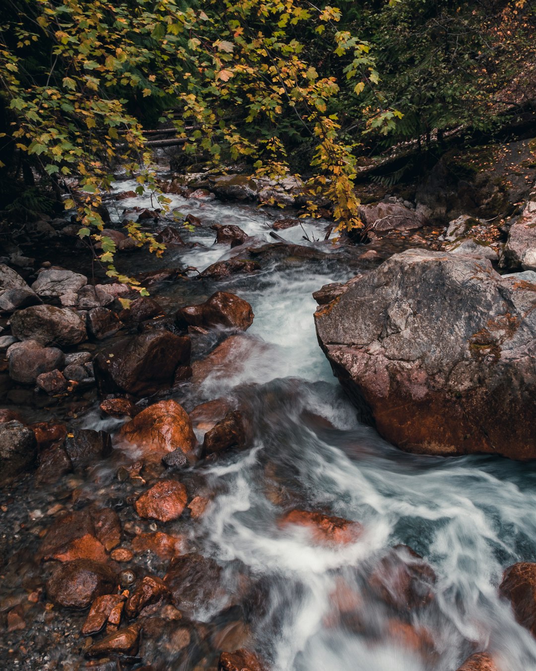
Siffleur Falls
96 km away from Wapta Falls
Read the Travel guide View on Google Maps
Book your Travel Experience in Wapta Falls
Discover the best tours and activities in Wapta Falls and book your travel experience today with our booking partners
Learn More about Wapta Falls
Find Hotels in Wapta Falls
Discover the best hotels around Wapta Falls, Canada and book your stay today with our booking partner booking.com